Summary
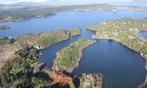
Lake Tikitapu is located next to Lake Rotokakahi and is on Tarawera Road. The lake is small and ciruclar and surrounded by native bush and forestry. The Lake is 150 ha in size and has a catchment area of 570 ha. The average depth is 10 metres and the deepest point is 27.5 metres. Lake Tikitapu has no surface outlet and is believed to drain via ground water flow into Lake Rotokakahi.
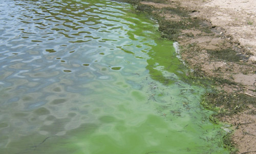
Water quality in the Te Arawa lakes is usually reported using the Trophic Level Index, an index of annual average water quality. Each lake in the region has a ‘TLI target’ value consistent with water quality prior to land use intensification and/or commensurate with community aspirations for the lake. Titkitapu’s target TLI is 2.7 (with values between 2 and 3 indicating oligotrophic water quality), however, a TLI of approximately 3 (the threshold for mesotrophic water quality) was observed between 2000 and 2010. The TLI for Lake Tikitapu currently is around 2.6.Primary production in the lake is strongly dominated by chlorophytes, due to relatively low concentrations of silica in the lake. Low levels of silica limit production of diatoms.
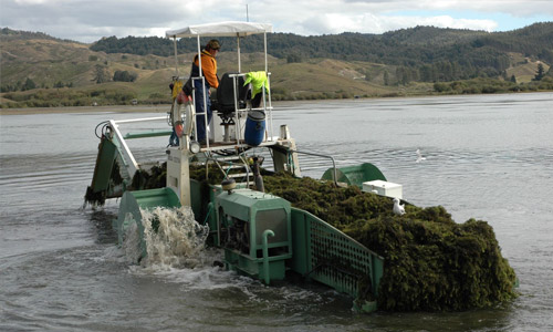
Lake Tikitapu is co-managed by the Bay of Plenty Regional Council (BoPRC), Te Arawa Lakes Trust, and Rotorua District Council. Recent initiatives have sought to address potential causes of elevated TLI including, but not limited to, the reticulation of sewerage systems within the lake catchment. In June 2011, BoPRC released an action plan for Lake Tikitapu, outlining present and future management actions and calling for adaptive management and rigorous environmental monitoring.
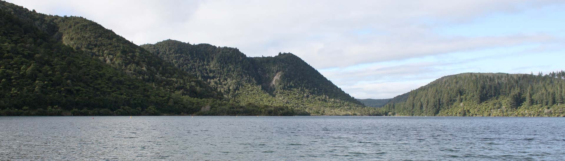
Lake Tikitapu is a very popular recreational area with wide range of boating, rowing, swimming and canoeing activities occurring on the lake. The Lake is also a very popular location for swimming for local people and tourists.