Summary
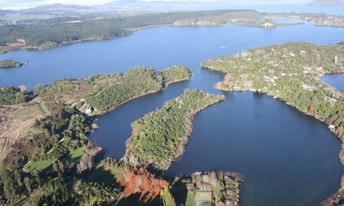
Lake Ōkataina is located between Lakes Tarawera and Rotoiti and is accessed off SH30 at Ruato Bay (on the shores of LakeRotoiti). The name " Ōkataina means "The lake of laughter. The Lake has an average depth of 39 metres, though at its deepest point it is 79m. The Lake is around 1080ha in size and the total catchment is 6290 ha of which 79% is native forest. Other minor landuses around the lake are exotic forestry and pasture. The Lake drains into Lake Tarawera via subsurface flow. Lake Ōkataina was once an arm of Lake Tarawera until a rhyolitic lava flow emerged between the two lakes 7000 years ago. This has left Lake Ōkataina with no outlet apart from fissured lava at the Tarawera end of the lake. As a consequence, the lake levels vary hugely with rainfall and have been known to rise by as much as 10 metres.
The trophic level of Lake Ōkataina has been fluctuating between a TLI 2.5 and TLI 3 in the last two decades. Putting together an action plan will help direct what actions need to be taken to improve water quality to meet the target (TLI 2.6) for the lake. The trend in the last 10 years shows the concentration of total phosphorus has been increasing slightly, while the concentration of total nitrogen has been decreasing slightly.
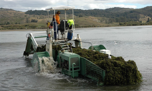
Aquatic weeds in Lake Ōkataina consist of both native plants and introduced oxygen weeds (Lagarosiphon major and Elodea canadiensus). Based on the Lake SPI (submerged plant indicators) the overall condition of the lake is regarded as good and stable. Since 2007 there have been two incursions of hornwort (Ceratophyllum demersum). The most recent incursion in 2009 is in a restricted arm of the lake and most likely came in via an anchor chain. A eradication programme has been put in place to control the spread and further development.